
Iceland travel data · live
Earthquakes in Iceland today: the last 48 hours, explained for travelers
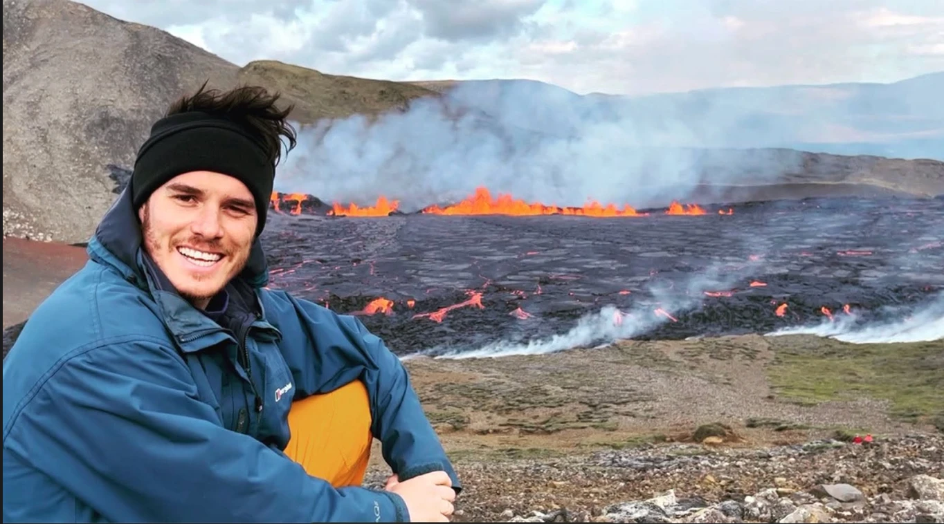 Explained for travelers by Nimrod Ron · Iceland Lead & Content Curator· Updated
Last 48 hours · Normal · read 09:03 UTC
Normal: 73 small quakes in 48 hours, largest M2.6 12.5 km NNE of Flatey
An ordinary couple of days for Iceland. Quakes under magnitude 3 are not felt, and nothing on this page changes a plan.
Key facts
- Last 48 hours
- 73 located quakes, 42 of them in the last 24 hours
- Largest
- M2.6 12.5 km NNE of Flatey, 10/28 15:41 UTC, 8.5 km deep
- Felt (M3 and up)
- None
- Busiest area
- Reykjanes Peninsula, 15 quakes
- Swarms
- None
- Source
- Met Office listing, read 09:03 UTC, refreshed every 10 minutes
Where, and what it usually means
Each quake assigned to its volcanic system or seismic zone from the coordinates, with the note a traveler needs about that system.
| System or zone | 48 h | 24 h | Largest | What activity here usually means |
|---|---|---|---|---|
| Reykjanes Peninsula (Svartsengi, Fagradalsfjall, Krýsuvík) | 15 | 11 | M1.4 | The eruption cycle since 2021: swarms here have preceded eruptions near Grindavík and the Blue Lagoon by hours to days. The airport and Reykjavík have never been affected; the Blue Lagoon and the Grindavík road close when there is a hazard. |
| Elsewhere | 12 | 6 | M1.8 | Outside the named systems. |
| South Iceland seismic zone (Selfoss to Hella) | 9 | 5 | M1.2 | The zone that produced the magnitude 6 quakes of 2000 and 2008; small quakes are constant, large ones rare. |
| Tjörnes fracture zone (Húsavík, Grímsey, Kópasker) | 7 | 4 | M2.6 | The offshore transform fault north of Húsavík; swarms of magnitude 3 to 4 are regular and felt in town, with no effect on travel. |
| Bárðarbunga | 7 | 6 | M1.6 | Iceland’s most active large volcano, under the Vatnajökull ice cap; magnitude 4 to 5 quakes here are its caldera adjusting and happen every few months. An eruption would be in the empty highlands, far from any road. |
| Hengill and Hveragerði | 7 | 3 | M1.1 | Geothermal-field quakes above the power stations; routinely felt in Reykjavík at magnitude 3 to 4, harmless. |
| Torfajökull and Landmannalaugar | 4 | 3 | M1.3 | Geothermal quakes under the highland hiking area; no eruption since 1477. |
| Katla and Mýrdalsjökull | 3 | 1 | M1.1 | Summer quakes from the ice are normal; the civil protection watch is for a sustained deep swarm. The ice caves and Vík are fine unless the authorities say otherwise. |
| Herðubreið | 2 | 1 | M0.3 | Swarms under the table mountain are among the most common in Iceland and mean nothing for a trip. |
| Reykjanes ridge, offshore (Eldey, Reykjanestá) | 2 | 1 | M0.9 | Ridge quakes out at sea; felt in Reykjavík at magnitude 4 and up, no effect on travel. |
| Askja | 2 | 1 | M1.0 | Inflating since 2021 with constant small quakes; the F-roads to it carry the civil protection notices. Last eruption 1961. |
| Krafla and Mývatn | 1 | 0 | M0.6 | The 1975 to 1984 fires happened here; today the quakes are geothermal and small. |
| Langjökull and Borgarfjörður | 1 | 0 | M0.8 | Quakes under the western glacier and along the Borgarfjörður fault; rarely felt. |
| Öræfajökull | 1 | 0 | M0.1 | Iceland’s highest volcano, next to Skaftafell; monitored closely since unrest in 2017, no eruption since 1727. |
The latest quakes
The most recent 60 of 73, newest first. Automatic locations are the Met Office’s first pass and can move by a few kilometres once reviewed.
| Time (UTC) | Mag. | Place | Depth | System | Status |
|---|---|---|---|---|---|
| 10/29 08:15 | M0.7 | 5.0 km NNE of Reykjanestá | 4.7 km | Reykjanes Peninsula | automatic |
| 10/29 06:46 | M0.7 | 8.7 km WSW of Hellu | 4.0 km | South Iceland seismic zone | automatic |
| 10/29 05:50 | M0.2 | 1.6 km WSW of Húsavík | 0.1 km | Tjörnes fracture zone | automatic |
| 10/29 03:45 | M0.3 | 2.0 km ENE of Bárðarbunga | 7.4 km | Bárðarbunga | automatic |
| 10/29 00:57 | M0.9 | 4.1 km NNE of Hábungu | 5.6 km | Katla and Mýrdalsjökull | automatic |
| 10/29 00:06 | M0.6 | 4.1 km SSW of Hrómundartindi | 4.3 km | Hengill and Hveragerði | automatic |
| 10/28 23:25 | M0.3 | 3.8 km SSW of Herðubreið | 1.3 km | Herðubreið | automatic |
| 10/28 22:24 | M1.5 | 16.6 km ESE of Grímsey | 5.0 km | Tjörnes fracture zone | automatic |
| 10/28 22:23 | M0.4 | 13.7 km ESE of Landmannalaugar | 0.0 km | Torfajökull and Landmannalaugar | automatic |
| 10/28 22:23 | M1.6 | 6.5 km ESE of Bárðarbunga | 0.0 km | Bárðarbunga | automatic |
| 10/28 22:02 | M0.9 | 15.1 km ESE of Kverkfjöll | 0.0 km | Elsewhere | automatic |
| 10/28 21:50 | M0.0 | 7.0 km WSW of Þeistareykjum | 12.1 km | Tjörnes fracture zone | automatic |
| 10/28 21:38 | M0.3 | 10.9 km E of Bárðarbunga | 22.9 km | Bárðarbunga | automatic |
| 10/28 20:24 | M0.2 | 2.8 km NNE of Bárðarbunga | 10.8 km | Bárðarbunga | automatic |
| 10/28 20:23 | M0.6 | 1.0 km E of Reykjanestá | 5.7 km | Reykjanes Peninsula | automatic |
| 10/28 19:11 | M0.0 | 7.3 km WSW of Búrfellsstöð | 5.2 km | Elsewhere | automatic |
| 10/28 18:55 | M0.1 | 5.7 km ENE of Bárðarbunga | 4.4 km | Bárðarbunga | automatic |
| 10/28 18:18 | M0.9 | 3.6 km NW of Reykjanestá | 6.8 km | Reykjanes ridge, offshore | automatic |
| 10/28 17:55 | M0.8 | 21.8 km E of Dettifossi | 0.0 km | Elsewhere | automatic |
| 10/28 17:12 | M0.0 | 35.5 km SSE of Jöklaseli við Skálafellsjökul | 5.2 km | Elsewhere | automatic |
| 10/28 17:06 | M0.7 | 3.7 km NW of Selfossi | 0.0 km | South Iceland seismic zone | automatic |
| 10/28 16:16 | M0.6 | 4.4 km ENE of Árnesi | 0.0 km | South Iceland seismic zone | automatic |
| 10/28 15:53 | M0.2 | 0.9 km NE of Straumsvík | 1.4 km | Reykjanes Peninsula | automatic |
| 10/28 15:41 | M2.6 | 12.5 km NNE of Flatey | 8.5 km | Tjörnes fracture zone | automatic |
| 10/28 15:39 | M1.7 | 27.0 km S of Jöklaseli við Skálafellsjökul | 5.6 km | Elsewhere | automatic |
| 10/28 15:04 | M0.8 | 8.6 km ESE of Selfossi | 0.2 km | South Iceland seismic zone | automatic |
| 10/28 14:56 | M0.6 | 0.7 km N of Suðurbotnum í Öskju | 2.2 km | Askja | automatic |
| 10/28 14:36 | M0.3 | 3.5 km SSW of Hrómundartindi | 5.8 km | Hengill and Hveragerði | automatic |
| 10/28 12:13 | M0.4 | 4.4 km E of Árnesi | 4.4 km | South Iceland seismic zone | automatic |
| 10/28 12:00 | M1.1 | 2.5 km ESE of Hveradalir | 3.8 km | Hengill and Hveragerði | automatic |
| 10/28 12:00 | M1.8 | 8.4 km NE of Akranesi | 0.0 km | Elsewhere | reviewed |
| 10/28 11:42 | M0.3 | 4.7 km WSW of Grindavík | 0.0 km | Reykjanes Peninsula | automatic |
| 10/28 11:39 | M1.1 | 4.4 km WNW of Bláa lóninu | 18.5 km | Reykjanes Peninsula | automatic |
| 10/28 10:45 | M0.2 | 8.5 km ENE of Krýsuvík | 2.7 km | Reykjanes Peninsula | automatic |
| 10/28 10:02 | M0.1 | 9.3 km ENE of Krýsuvík | 2.3 km | Reykjanes Peninsula | automatic |
| 10/28 09:58 | M1.3 | 12.7 km NW of Álftavatni | 0.6 km | Torfajökull and Landmannalaugar | reviewed |
| 10/28 09:37 | M0.5 | 4.5 km NNE of Bárðarbunga | 10.1 km | Bárðarbunga | automatic |
| 10/28 09:22 | M0.0 | 7.6 km ENE of Krýsuvík | 8.6 km | Reykjanes Peninsula | automatic |
| 10/28 09:14 | M0.0 | 8.1 km ENE of Krýsuvík | 4.9 km | Reykjanes Peninsula | automatic |
| 10/28 09:13 | M1.4 | 8.2 km ENE of Krýsuvík | 6.5 km | Reykjanes Peninsula | reviewed |
| 10/28 09:09 | M1.1 | 13.0 km NNW of Álftavatni | 1.6 km | Torfajökull and Landmannalaugar | reviewed |
| 10/28 09:07 | M0.2 | 8.3 km ENE of Krýsuvík | 1.5 km | Reykjanes Peninsula | automatic |
| 10/28 08:56 | M0.6 | 9.1 km NW of Reykjanestá | 1.2 km | Reykjanes ridge, offshore | automatic |
| 10/28 08:22 | M1.0 | 3.2 km E of Jónsskarði í Dyngjufjöllum | 5.0 km | Askja | automatic |
| 10/28 08:17 | M0.6 | 0.7 km N of Kröfluvirkjun | 3.5 km | Krafla and Mývatn | automatic |
| 10/28 08:04 | M0.2 | 4.7 km WSW of Raufarhólshelli | 0.0 km | Hengill and Hveragerði | automatic |
| 10/28 06:30 | M0.8 | 9.9 km NNW of Geysi | 4.8 km | Langjökull and Borgarfjörður | reviewed |
| 10/28 06:21 | M0.1 | 6.7 km WNW of Grindavík | 5.7 km | Reykjanes Peninsula | automatic |
| 10/28 03:24 | M0.3 | 7.5 km WNW of Straumsvík | 8.8 km | Reykjanes Peninsula | automatic |
| 10/28 02:33 | M0.2 | 5.0 km ESE of Bláfjallaskála | 9.1 km | Hengill and Hveragerði | automatic |
| 10/28 01:11 | M1.1 | 4.4 km NNE of Goðabunga | 0.0 km | Katla and Mýrdalsjökull | automatic |
| 10/28 00:41 | M0.0 | 3.5 km NE of Krýsuvík | 4.6 km | Reykjanes Peninsula | automatic |
| 10/27 23:42 | M1.0 | 3.8 km NW of Selfossi | 4.4 km | South Iceland seismic zone | automatic |
| 10/27 23:07 | M0.2 | 3.5 km N of Krýsuvík | 4.2 km | Reykjanes Peninsula | automatic |
| 10/27 22:14 | M0.6 | 1.9 km NW of Bláfjallaskála | 8.3 km | Elsewhere | automatic |
| 10/27 21:48 | M0.8 | 3.4 km NNW of Skeggja á Hengli | 4.3 km | Hengill and Hveragerði | automatic |
| 10/27 20:37 | M0.5 | 3.5 km W of Goðabunga | 1.1 km | Katla and Mýrdalsjökull | automatic |
| 10/27 20:35 | M1.4 | 8.1 km NW of Akureyri | 2.9 km | Tjörnes fracture zone | automatic |
| 10/27 17:54 | M0.1 | 11.7 km SW of Þeistareykjum | 0.0 km | Tjörnes fracture zone | automatic |
| 10/27 17:48 | M0.5 | 9.1 km SE of Selfossi | 2.3 km | South Iceland seismic zone | automatic |
Each day's count per volcanic system is stored from October 2026; the day-by-day and system-by-system history appears here after the first week.
How to read this page
- Quiet: fewer than 40 quakes in 48 hours and nothing over magnitude 3.5. Normal: 40 or more, still nothing over 3.5. Active: a swarm (30 in 48 hours or 20 in 24 in one system) or a quake of 3.5 to 4.5. Notable: magnitude 4.5 and up, which makes the Icelandic news.
- Magnitudes under 3 are not felt. 3 to 4 is a jolt near the epicentre. 4 to 5 is felt across a region and damages nothing. Iceland’s largest quakes, magnitude 6 to 6.5 in the south lowlands in 2000 and 2008, cracked walls and injured no one.
- The authorities: the Icelandic Met Office (vedur.is) for quakes and volcano alert levels, the Department of Civil Protection (almannavarnir.is) for closures and evacuations, SafeTravel.is for the traveler version, and 112 in an emergency. This page reads the Met Office listing and never changes it.
- The road conditions page carries any closure an eruption or a glacial flood causes: road conditions today.
Download the data (CSV) · free to reuse under CC BY 4.0 with a link back.
Questions about earthquakes and eruptions in Iceland
Is there an earthquake in Iceland today?
Almost always, and almost never one you would notice: Iceland records between 20 and 200 small quakes on an ordinary day. The verdict at the top of this page says whether the last 48 hours were quiet, normal, active or notable, names the largest quake and where it was, and the table lists every located event from the Met Office.
Is it safe to travel to Iceland with the earthquakes?
Yes. Quakes under magnitude 3 are not felt, magnitude 3 to 4 is a short jolt near the epicentre, and even the magnitude 5 caldera quakes under Vatnajökull happen in uninhabited highlands. Buildings are built for it, and the Met Office and civil protection monitor every volcano around the clock. No flight has been cancelled for an Icelandic quake or eruption since 2010.
Does an earthquake swarm mean a volcano is about to erupt?
Sometimes, and the authorities will say so. On the Reykjanes Peninsula, where eruptions have happened most years since 2021, intense swarms with ground deformation have come hours to days before lava; the civil protection service raises an alert, closes Grindavík and the Blue Lagoon, and this page shows the swarm. Swarms at Herðubreið, Bárðarbunga, the Tjörnes zone or Hengill are routine and have led to nothing for years.
What does an eruption mean for a trip?
Usually a detour and a crowd: the Reykjanes eruptions closed the Blue Lagoon and the Grindavík road for days at a time and left the airport, Reykjavík and the rest of the country untouched. A big ice-capped volcano (Katla, Grímsvötn) would close the South Coast road for a glacial flood; that has not happened since 2011. Check the road conditions page and the civil protection notices rather than the news.
Where does this data come from?
From the Icelandic Met Office’s public listing of located earthquakes in the last 48 hours, read every ten minutes, with each quake assigned to its volcanic system from the coordinates. If the listing cannot be read, the page falls back to the EMSC catalogue, which carries Icelandic events of magnitude 2 and up. The Met Office remains the authority; this page only reads and explains.
Read next: Road conditions today · Weather this week · Live F-road map · Short itineraries around Reykjanes and the capital
Deeper reading on iceland-trip.com
Our sister site covers every place in depth: access, parking, seasons, what to expect. Written by the same team.
- Reykjanes PeninsulaThe lava fields, hot springs and new volcanoes next to the airport.iceland-trip.com
- The HighlandsLandmannalaugar, Þórsmörk, Askja and the F-roads that reach them.iceland-trip.com
- South IcelandWaterfalls, black beaches, glaciers and the glacier lagoon along Route 1 from Hveragerði to Höfn.iceland-trip.com
- Iceland's weather, month by monthWhat each month is really like, what to pack, when the highland roads open and when the northern lights show.iceland-trip.com